Create your own digital maps
GIS ShapefilesFor Beginners & Experienced GIS Users AlikeBeginners Create Digital GIS Maps in Minutes Now you can learn digital mapping. Add value to your education, job or business with GIS (geographic information systems). Each GIS map layer includes easy to follow instructions that show you how to add streets, highways, census information and much more to your maps for free. Each of the shapefile map layers also includes free access to our Learn2Map GIS Tutorial and Atlas and free GIS software so that you can begin creating GIS map projects in minutes. If you are new to GIS, learn more about it here. GIS Professionals If you are already using GIS, these shapefiles work with ArcView GIS, ArcGIS, Maptitude, Mapinfo, Manifold and many other commercial GIS and mapping programs and many free GIS programs as well. We have included several base shapefile map layers with each map archive listed below. In addition, we have many free GIS shapefiles that you may wish to add to your digital maps.
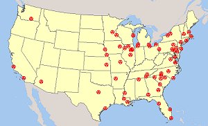
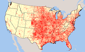
The United States Tornado Touchdown Points 1950-2008 map layer includes tornado touchdown points for tornadoes that occurred in the United States, Puerto Rico, and the U.S. Virgin Islands. Descriptive information includes the latitude and longitude of the touchdown and lift-off points, the number of fatalities or injuries, an estimate of damage costs, and the classification of the storm on the Fujita Tornado Damage Scale. Download Tornado Shapefiles by Region or the Entire U.S.
|
 |
|
Includes:
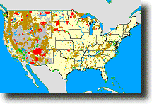
- Bureau of Indian Affairs (BIA) GIS Shapefile Map Layer
- Bureau of Land Management (BLM) GIS Shapefile Map Layer
- Bureau of Reclamation (BOR) GIS Shapefile Map Layer
- Department of Defense (DOD) GIS Shapefile Map Layer
- Fish & Wildlife Service (FWS) GIS Shapefile Map Layer
- Forest Service (FS) GIS Shapefile Map Layer
- National Park Service (NPS) GIS Shapefile Map Layer
Each GIS map layer includes other federal lands, not listed above, and base layers including cities, roads, rivers, states and water bodies. Click here for details.
Download Federal and Indian Lands Shapefile Maps
 Climate
Change Global Warming Shapefiles Changes in Temperature and Precipitation
from 2010 through 2099
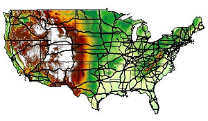
IPCC 4th Assessment scenario A2 temperature and precipitation GIS shapefile map layers for the years 2010, 2020, 2030, 2040, 2050, 2060, 2070, 2080, 2090 and 2099. The data points are spaced approximately 4.5 km (2.8 miles) apart. The data covers the lower 48 United States. Each point includes data for each of the 12 months of the year, making comparisons and calculations of increases or decreases between months and decades possible.
About the A2 Scenario
The A2 storyline and scenario family describes a very differentiated and heterogeneous world. The underlying theme is self-reliance and preservation of local identities. Emphasis on economic, social, and cultural interactions between regions is less than in other storylines. Fertility patterns across regions converge very slowly, which results in high population growth. Economic development is uneven, the income gap between now-industrialized and developing parts of the world does not narrow, and per capita economic growth and technological change are more fragmented and slower than in other storylines. Main characteristics A2 scenario include: high population growth, medium GDP growth, high energy use, medium-high land use changes, low resource (mainly oil and gas) availability, slow pace and direction of technological change favoring regional economic development.
In addition to each GIS shapefile map layer, you get base map layers including cities, roads, rivers, states and water bodies. Click here for details.
Download Climate Change GIS Shapefile Maps
No Experience Required
The shapefiles come with easy to follow instructions for downloading ArcExplorer, a free GIS map viewer. We provide step-by-step instructions so that you can easily learn to use and view the maps. For more help, each shapefile is packaged with our Learn2Map GIS Tutorial & Atlas.
A Note About How Your GIS Maps Will Look
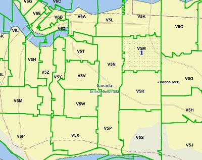
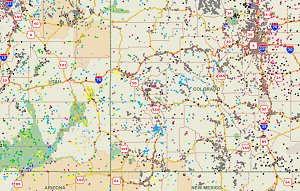
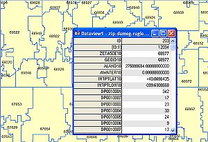
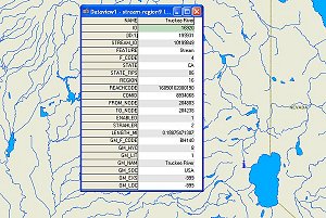
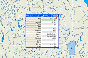
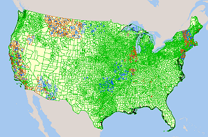
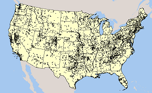
The image(s) on this page are examples of how these shapefiles may look when loaded into a GIS program. Your GIS maps may not look exactly like this. Each GIS program is different. Shapefiles themselves are a collection of points, lines or polygons. They have no attributes. It is up to you, the user, to define colors, line width, symbols and other attributes within the limits and capabilities of the GIS programs you are using.
About Quality, Accuracy and Suitability
This data may come from a variety of government and self-reporting private sources. While we try to assure the accuracy of this material, we cannot promise that it is absolutely accurate. We do promise that using the map layer will be fun, entertaining or educational. Beyond this, we make no guarantee as to its suitability for any purpose. We assume no liability or responsibility for errors or inaccuracies. Please understand that you use these map layers and data at your own risk.
Thank You,



 U.S.
Dams - Name, Location,

没有评论:
发表评论